Upper Mountain Fork River, OK
Put In: Beachton Road
Take Out: The Narrows on Hwy 259
Distance: Approx 18 miles
Attending: Solo
Smithville gate: Approx 130cfs
Once again I am blessed with the pleasure of paddling this remote beautiful river. My wife and I spend a few days each year at Rivers Edge Cabins outside of Watson, OK. This year I was doubtful I would be able to paddle due to the low water. This is a bit ironic as just 30 day prior this river and several others in eastern Oklahoma reached historic levels. On the night of Dec 27th the river reached 35ft at the Smithville gage with a flow of about 70,000 cfs, just a few feet short of reaching the bottom girder of the Hwy 4 bridge at Smithville. If you have ever been there you would truly be in awe of just how high this is relative to the normal river height.
My wife dropped me off at Beachton road and I was on the water by 8:20 with a temp of 26 but full sun and warming quickly with highs expected in the upper 60s to lower 70s later in the afternoon. I was in nylon shorts and a long sleeve nylon shirt with neoprene gloves. The water was very low and each rock garden was a true maze to make my way through and the drop offs were at their maximum. The paddle from Beachton road back to our cabins is only about 4.5 miles and I made it in 1 hour. I put kayak on the rocks down from the cabin and went up to see my wife and sit in the hot tub for a bit, a really nice treat for a cold morning. Well a bit turned into 1 hour before I knew it. I got back on the water by 10:20 for the remaining 14 miles down to the narrows.
Just about 1 mile downriver from the cabins you come to an old mine conveyor that crosses the river above. There are several rock gardens to make you r way through but nothing of consequence at these levels. Someday I will catch this river at about 700 cfs and it will be a hoot. I told my wife to meet me at the narrows about 2:30 and I was wearing my Delorme Inreach so she could track my movements with position updates every 10 min. About 6 miles down from the cabins at coordinates Lat: 34.464765, Lon: -94.597435 there is a sharp left turn in river and just after the turn there were 3 large trees down in the river on river left with one stretching across the river and laying at water level. I spotted it quickly and stopped to make a route around. This was a total river strainer and is a hazard that must be avoided. The river right is low with a small path through but would not advise as down the shoot it comes to a hard right with the water pushing against a high bank and a tree. At this flow I was able to get down the shoot but almost got the boat jammed. At a higher flow this shoot would also be a hazard. My advice would be to keep to the main river on the left and portage to the right side of the downed tree. Of course at higher level this may look very different.
As I made my way downriver I came upon numerous bald eagles and got some good pictures. I made the rapid below the Hwy 4 bridge by 12:50 and sat on the rocks and had a 30 minute lunch then put on my helmet and with through the rapid. Past Hwy 4 there are several other rock gardens and high bluff banks then the river goes through a wide and slow stretch. The southwest wind had picked up and was taking a good bit off my speed. I arrived at the narrows about 3:15 with a couple of good drop offs the last of which I put on my helmet. My wife was waiting for me at the low water bridge where I loaded up and called it a great day on the water.
Here are some pictures and a link to my trek.
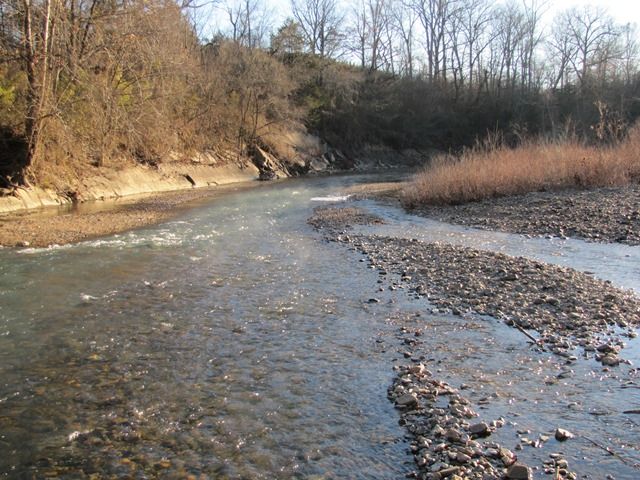
Launch at Beachton road, skinny river
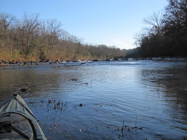
First rock garden maze
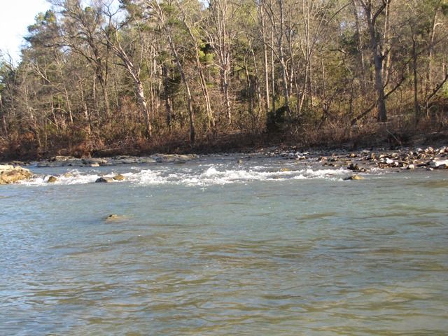
Small rapid
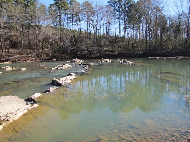
Rock garden by cabins
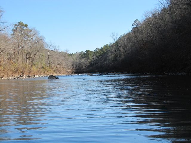
Beautiful stretch of river
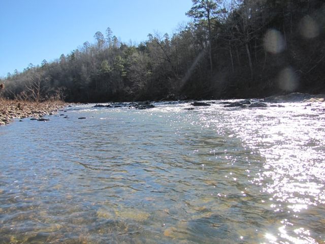
More rocks
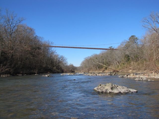
The conveyor
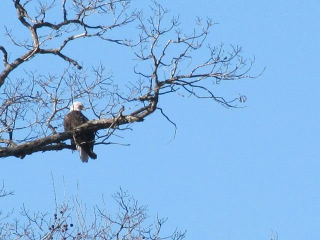
One of many Bald Eagles
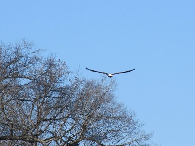
Got a shot after he took flight
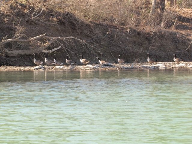
Some geese along the rivers edge
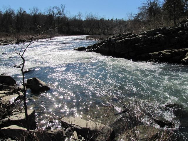
The rapid at Hwy 4
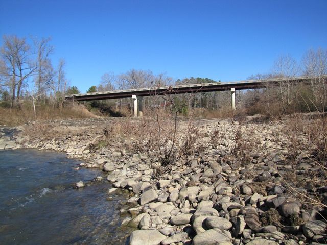
The Hwy 4 bridge, water was within 5-8’ of girder
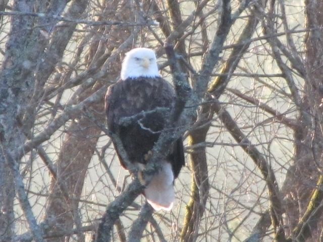
Another Bald
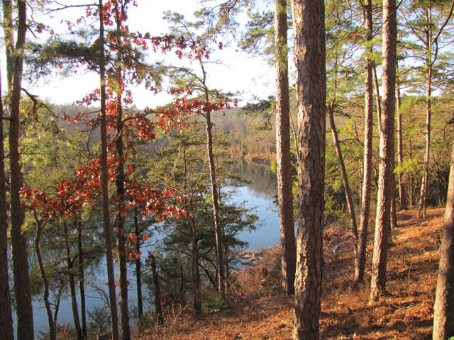
View from our cabin
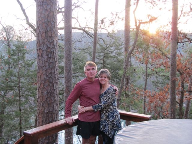
My wife and I on our last morning
Link to my trek
https://www.google.com/maps/d/edit?hl=e ... cx23J6WSFI" onclick="window.open(this.href);return false;
SYOTW,
Earl


